
Aerial Mapping, 3D Modelling & Asset Inspection
Professional drone services for Cairns and Far North Queensland
FotoRosco provides commercial aerial imaging, photogrammetry, 3D modelling and asset inspection services for construction, engineering, surveying, property and infrastructure projects.
Using RTK-enabled drone technology, FotoRosco captures detailed aerial imagery and spatial data to produce 2D mapping, 3D models and high-resolution documentation of sites, structures and assets.
Based in Cairns. Available throughout Far North Queensland.

Drone Mapping & Photogrammetry
Capture detailed aerial data for sites, structures and terrain and turn it into accurate, usable digital information.
FotoRosco uses aerial photogrammetry and RTK-enabled drone technology to capture high-resolution imagery for mapping, measurement, documentation and 3D reconstruction.
Depending on the project, deliverables can include:
• Orthomosaics and aerial maps
• 3D models and textured meshes
• Point clouds and elevation data
• High-resolution aerial imagery
• Repeat site capture for project monitoring
RTK positioning can be used where increased positional accuracy is required. Project requirements, deliverables and achievable accuracy are assessed before each capture.
Typical applications: construction sites • development sites • earthworks • infrastructure • heritage structures • asset documentation
3D Modelling
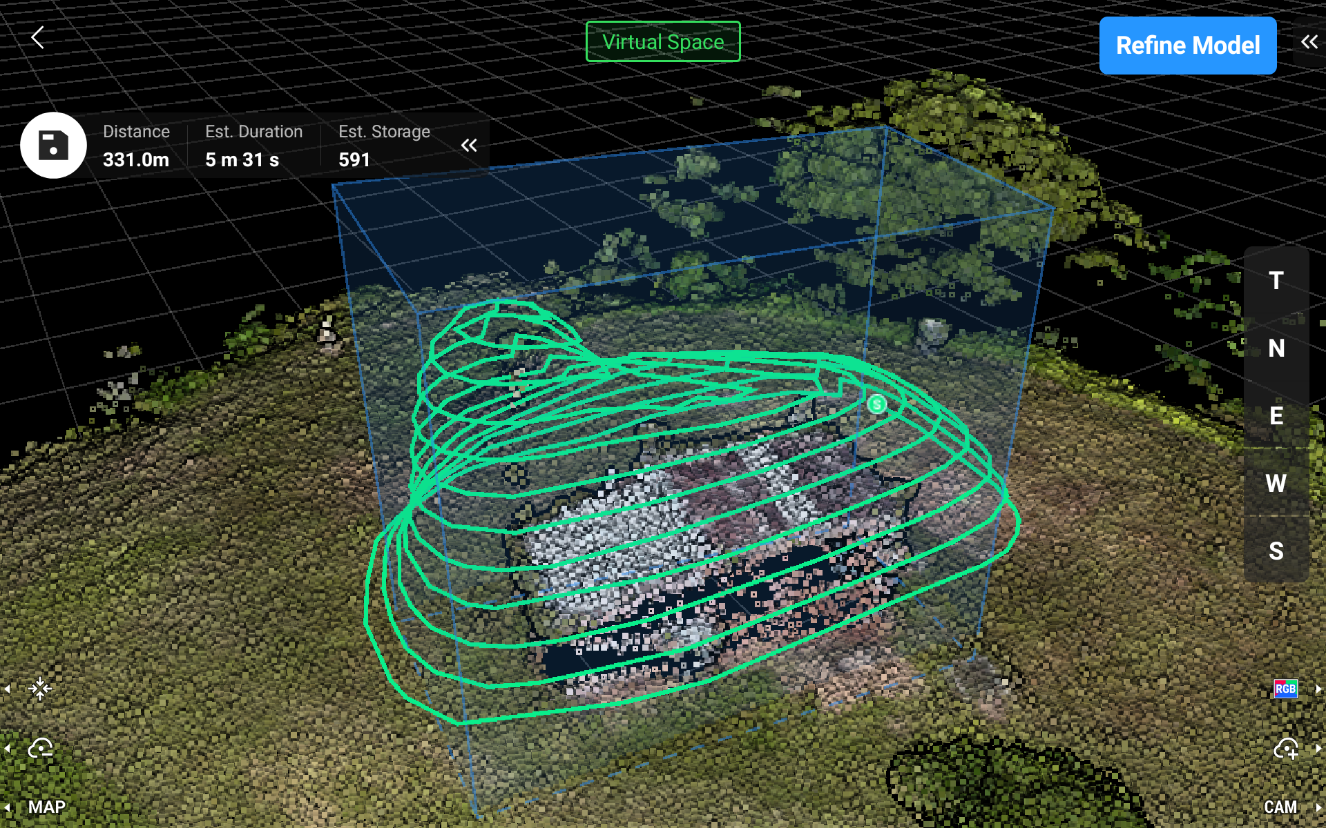
Create detailed, textured 3D models of buildings, structures and other difficult-to-access subjects using aerial photogrammetry.
A 3D model provides a detailed digital record of an existing structure that can be viewed from any angle and used for visual documentation, inspection support, planning, measurement and archival purposes.
Models can be supplied as interactive web-based models, with other formats available depending on project requirements.

Asset Inspection & Aerial Imaging
Capture detailed imagery of structures and assets that are difficult, inconvenient or hazardous to access from ground level.
FotoRosco can provide high-resolution still photography, close-up imagery, video and 3D capture to support inspection, maintenance, condition documentation and assessment.
Aerial capture can be useful for roofs, buildings, industrial structures, infrastructure and other difficult-access assets, providing detailed visual information without requiring personnel to physically access every area.
Where an engineering or specialist assessment is required, the captured imagery and data can be supplied to the appropriately qualified professional.
Typical applications: Roofs • Buildings • Industrial structures • Infrastructure • Heritage structures • Difficult-access areas
