

3D Smart Capture
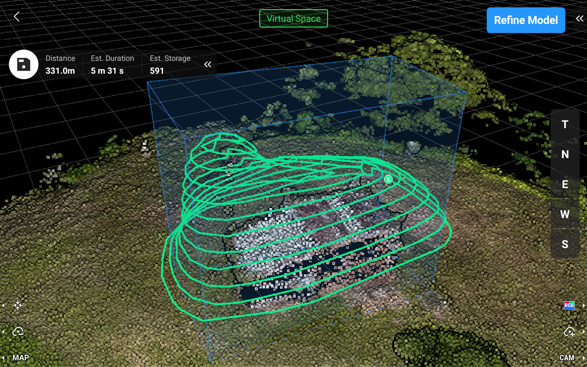
The 3d Smart Capture system plans a precise flight path to capture fine details of a structure. The Drone uses it’s RTK positioning for precise flying and the vision obstacle sensors will stop the drone in the event it detects an obstacle too close.
In the 3D model of a South Australian Stone Cottage, approximately 80 images were taken to assemble the model.
Left Mouse Click and drag to rotate, Right Mouse Click and drag to pan, Mouse Scroll wheel to zoom in and out.
On a mobile device, tap and drag to rotate, two finger pinch or spread to zoom.

3D modelling of a historic brick chimney stack at the Chillagoe Smelters in outback Far North Queensland.
Zoom in to check the detail in the crumbling brickwork.
This historic structure is in a restricted access zone in Chillagoe, Queensland. Drone imagery taken under supervision and permission from Queensland Parks and Wildlife Service whom manage the site.
Left Mouse Click and drag to rotate, Right Mouse Click and drag to pan, Mouse Scroll wheel to zoom in and out.
On a mobile device, tap and drag to rotate, two finger pinch or spread to zoom.